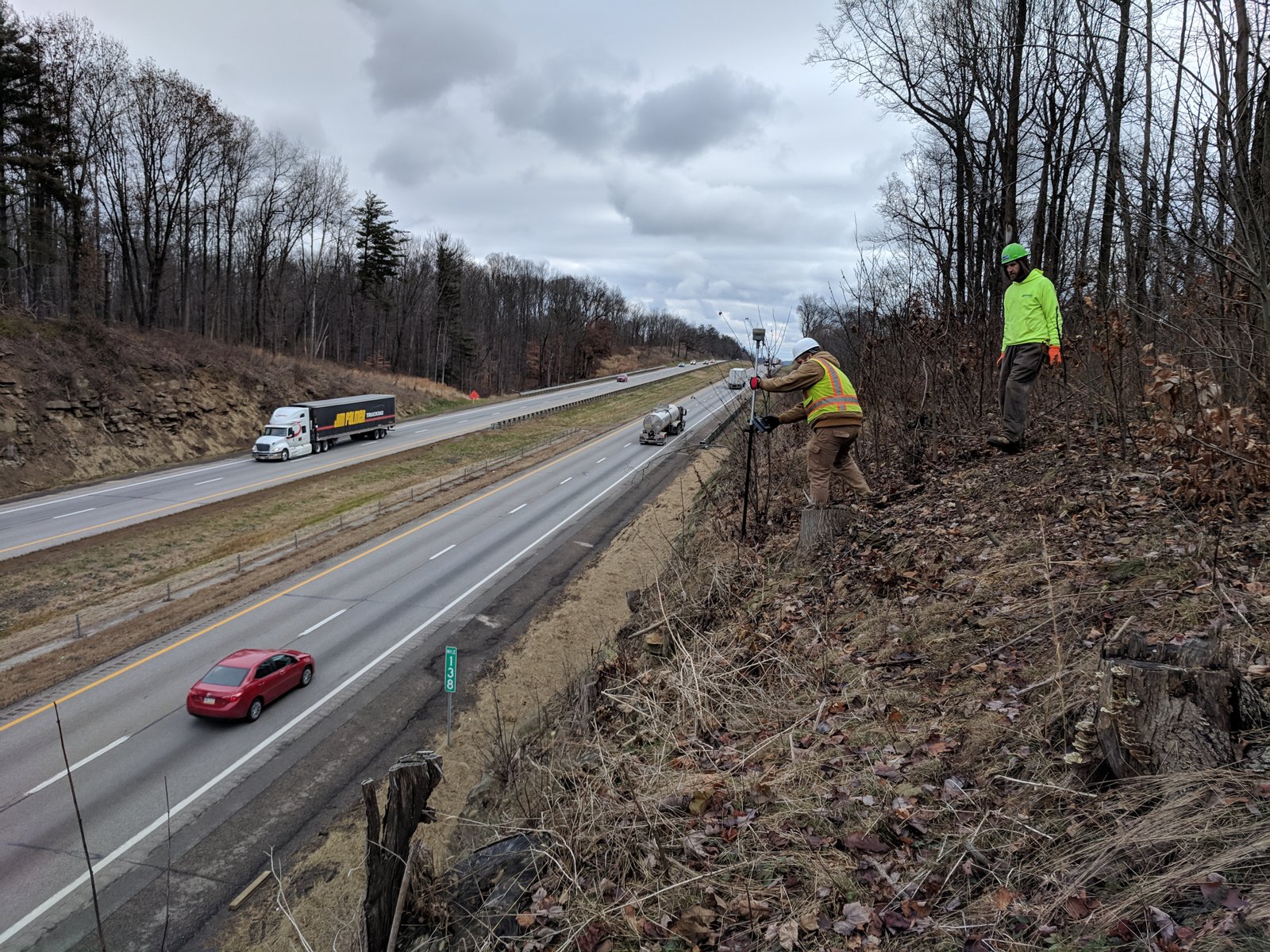
Smart Services, Inc. provides a wide range of surveying services meeting the needs of our public and private clients. Our firm was built on the performance of Mortgage, ALTA, and Boundary surveys where we established a solid reputation for quality and accurate work. Since our start we have expanded our services to include Horizontal and Vertical Control Surveys, Basemaps & GIS, Right-of-Way Plans, Topographic Surveys, GNSS Surveys, Terrestrial based LiDAR, Route Surveys, Cadastral Surveys, ALTA/NSPS Land Title Surveys, Hydrographic Surveys, As-Built Surveys, FEMA Flood Mapping & Elevation Certificates, and Construction Staking.
We employ survey crews equipped with Robotic Total Stations, Terrestrial Scanners, ODOT VRS and RTK GNSS systems, static GNSS systems, and optical levels. We have the CADD and GIS expertise to prepare high quality basemaps, right-of-way plans per ODOT Design Manual Guidelines and Specifications, and GIS mapping tailored to our client’s needs.
Topographic Surveys
Route Surveys and Project Survey Control
As-Built Surveys
Construction Staking
Mortgage Location Surveys
GPS & GIS

ALTA/ACSM Land Title Surveys
Boundary & Line Staking Surveys
FEMA Flood Mapping & Elevation Certificates
Our Services

SURVEYING & RIGHT-OF-WAY
Smart Services provides a wide range of surveying services meeting the needs of our public and private clients. Our firm was built on the performance of Mortgage, ALTA, and Boundary surveys where we established a solid reputation for quality and accurate work. Since our start we have expanded our services to include Topographic Surveys, FEMA Flood Mapping and Elevation Certificates, Bathymetric Surveys, Project Survey Control, Construction Staking, Final Site Staking, Site Engineering Surveys, Route Surveys, and As-Built Surveys.
We employ survey crews equipped with Robotic Total Stations, ODOT VRS and RTK GPS systems, static GPS systems, and optical levels. We have the CADD and GIS expertise to prepare high quality basemaps, right-of-way plans per ODOT Design Manual Guidelines and Specifications, and GIS mapping tailored to our client’s needs.

TRAFFIC ENGINEERING
